
Riverfront Canal Walk in Richmond, VA
The Canal Walk has been a staple of Richmond for decades, entertaining visitors and residents alike. Located along downtown’s riverfront, the Canal Walk stretches 1.25 miles along the James River and Kanawha and Haxall Canals, and has access points at nearly every block between 5th and 17th Streets. The Canal Walk is used for walking and biking by visitors, residents and people enjoying a break from working downtown. Did you know that you can explore the canal by boat, too? Find out more about Riverfront Canal Cruises.
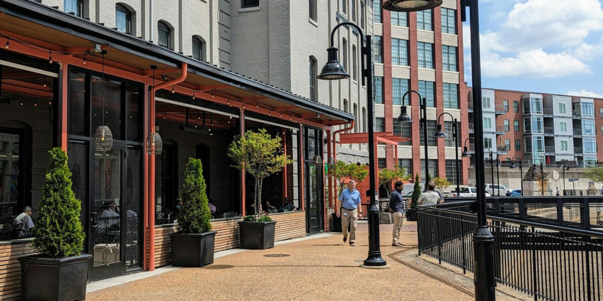
There is so much to learn about Richmond’s history along the Canal Walk. On your walk you’ll see public art, statues and exhibits. Visit exceptional restaurants along the Canal Walk, like Southern Railway Taphouse, Casa del Barco and Bottom's Up Pizza.
How Can I Access the Canal Walk?
The Canal Walk in Richmond has access points at nearly every block between 5th and 17th Streets.
There are handicapped-accessible entrances at 5th, 10th, 12th, 14th and 16th Streets.
The History of the Canal
Richmond, lying on the fall line of the James River, was destined for a history steeped in canal navigation. George Washington, a staunch proponent of canal transportation, appeared before the Virginia General Assembly in 1784 to support legislation to create a waterway to bypass the falls. By linking the James River with the Kanawha River in western Virginia, which in turn flowed into Ohio, he hoped to improve transportation and trade with the western region. In 1785, the state incorporated the James River Company, with Washington as the honorary president. The James River Company set to work constructing the first towpath canal system in North America. The first section of the canal system to be completed circumvented the seven-mile falls near Richmond.
By 1800, the Great Basin was situated in the heart of the city. Partially located under the present-day James Center, the basin was a hub of activity surrounded by mills and warehouses. The Tidewater Connection was completed in 1822, and boats could enter the canal below the falls. Wooden locks and the Richmond Dock connected the lower James to the Great Basin via canal to the upper James. The locks, however, would soon decay and be replaced.
In 1820, the James River Company signed their charter over to the state, which controlled the company until 1835, when the James River and Kanawha Company took over the canal effort.
Richmond's Canal: Then and Now
By 1840, canal construction was completed from Richmond to Lynchburg and by 1851 had reached what would be its final destination — Buchanan in Botetourt County. At this point, the canal system spanned 197 miles. Finally, 1854 brought improvements to the Tidewater Connection: five granite locks (the fourth and fifth still exist near the intersection of 12th and Byrd Streets) and turning basins between 9th and 14th Streets; the Richmond Docks, located between 14th and Pear Streets; and the Great Ship Lock near Dock and Pear Streets.
These improvements ushered in the heyday of the James River and Kanawha Canal in Richmond. During the 1850s — and peaking in 1860 — canal traffic was at its busiest. As many as 195 boats regularly traversed the waters, bringing goods such as tobacco and wheat from western Virginia to market, and returning home with finished goods from the city.
Passenger voyages made up a small percentage of boat traffic. Only six passenger boats — called packets — ran on a regular basis during this busy time. Packets could carry 30 to 40 people and took approximately 33 hours to reach Lynchburg via canal. From the packet office in the Great Basin, the boats were poled out to 7th Street where they were hitched up to a horse or mule. The animals pulled the boats along the towpath while a boatman steered from the rear. On nice days, passengers sat on the deck of the boat and enjoyed the leisurely journey.
All this came to an end as flooding, Civil War damage and competition from the expanding railroads took a huge toll on the Richmond canals. By 1880, the Richmond and Allegheny Railroad was laying tracks along the towpath of the canal. Canal construction never reached the Kanawha River as George Washington envisioned.
In the late 20th century, the canals were reconstructed as part of a broad vision for downtown Richmond’s riverfront. Design and construction phases lasted from 1991-1999, with the groundbreaking ceremony on October 5, 1995. June 4, 1999 was the grand opening ceremony for the Canal Walk and canal boat christening. Riverfront Canal Cruise public tours started the next day. This existing canal system was constructed in conjunction with the Department of Public Utilities Combined Sewer Overflow project. A pipe measuring 1.3 miles long and up to eight feet in diameter was installed in the bed of the Haxall and Kanawha canals from west of the Lee Bridge eastward to 16th Street. The pipeline collects wastewater and, when the city sewers are overwhelmed, routes it to a 50-million gallon Shockoe retention basin until it can be treated at the wastewater treatment plant.

