The James River Park System offers miles of trails, scenic river views, and outdoor adventure in the heart of Richmond.
Richmond's James River Park System
Hike Belle Isle, swim in the James River or launch your kayak from Ancarrow's Landing, the James River Park System offers year-round outdoor adventure for the whole family.
Explore Downtown Richmond's Parks
Visit any of Downtown Richmond's riverfront parks in our city's expansive and assorted park system
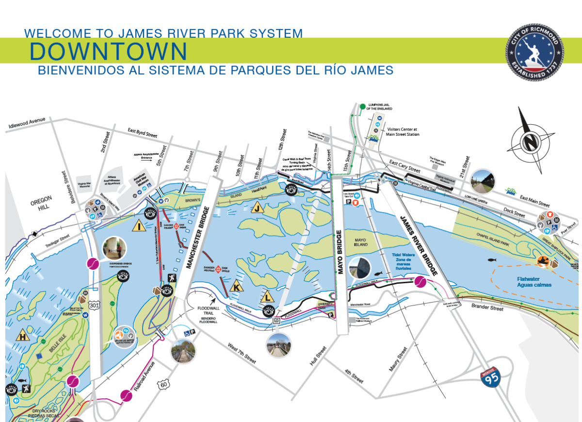
The James River Park System, a unique part of Richmond’s Department of Parks, Recreation and Community Facilities, includes more than 550 acres of shoreline and islands in Virginia's capital and features the centerpiece of our city and liquid lifeline of Richmond: the James River. The James River Park System (JRPS) encompasses a majority of the fall line of the James River in downtown Richmond. Rocks, rapids, meadows and forests make for an abundance of unspoiled natural beauty mixed with a little bit of wilderness to make downtown Richmond an urban jungle ready to explore.
The City of Richmond provides three mobile payment apps, Passport Parking, Parkmobile, and Pay-By-Phone. Each allows motorists to pay for parking through their smartphones…