
Richmond's James River Park System
Hike Belle Isle, swim in the James River or launch your kayak from Ancarrow's Landing, the James River Park System offers year-round outdoor adventure for the whole family.
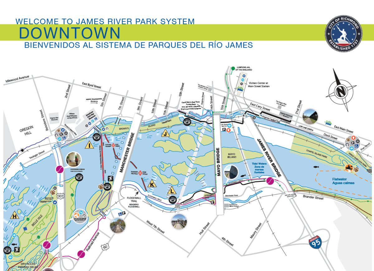
Explore Downtown Richmond's Parks
Visit any of Downtown Richmond's riverfront parks in our city's expansive and assorted park system
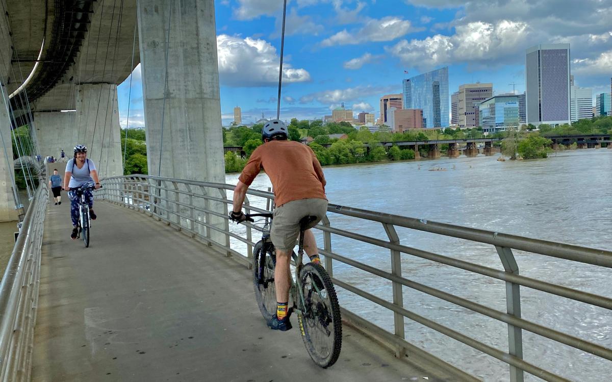
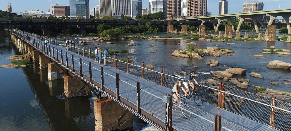
The James River Park System, a unique part of Richmond’s Department of Parks, Recreation and Community Facilities, includes more than 550 acres of shoreline and islands in Virginia's capital and features the centerpiece of our city and liquid lifeline of Richmond: the James River. The James River Park System (JRPS) encompasses a majority of the fall line of the James River in downtown Richmond. Rocks, rapids, meadows and forests make for an abundance of unspoiled natural beauty mixed with a little bit of wilderness to make downtown Richmond an urban jungle ready to explore.
Parks in Richmond, VA
Downtown Richmond's parks are easily accessible and a go-to pick for Richmond visitors and residents.


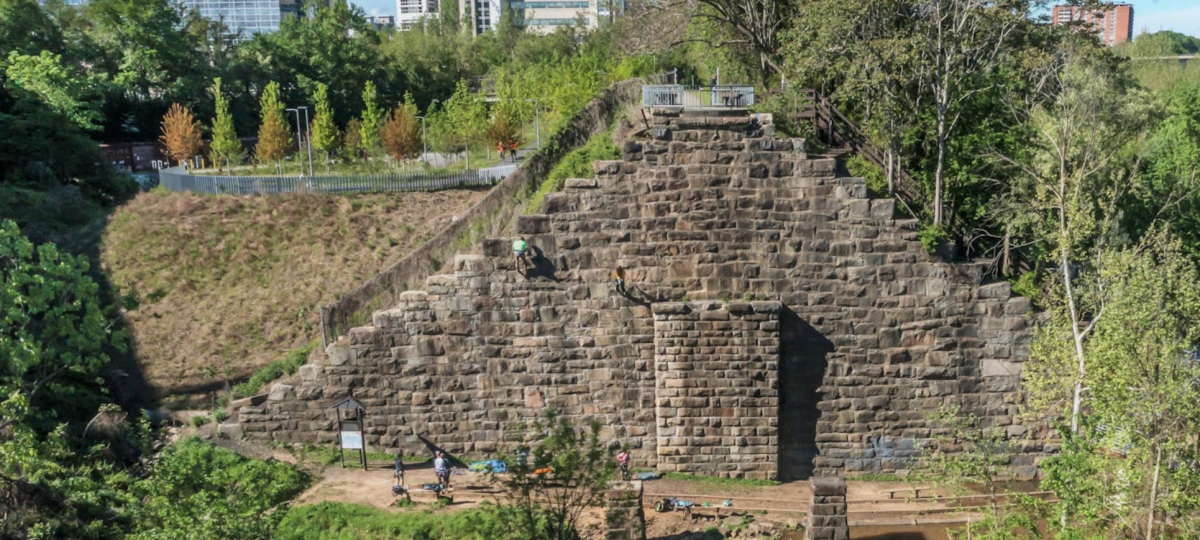
James River Park's Outdoor Amenities in Downtown Richmond


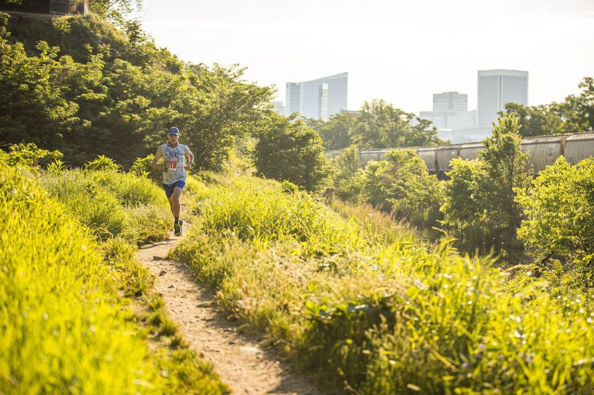
James River Trails in Downtown Richmond
Riverfront Hiking and Biking Trails (length, type of surface, rating)
-
Canal Walk (1.25 miles, paved, rated easy)
-
Virginia Capital Trail (52 miles, paved, rated easy to moderate)
-
Belle Isle Trail (3 miles, gravel, rated easy to moderate)
-
Richmond Slave Trail (2.5 miles, mixed surface, rated easy)
-
Ancarrow´s East Trail (2.5 miles, mixed surface, rated easy)
-
Floodwall Walk (.5 miles, paved, rated easy)
North Bank Trail
If chilling isn’t what you’re about, North Bank Trail provides an excellent challenge for hikers and mountain bikers. This advanced trail runs uninterrupted from Pumphouse Park to the Tredegar Parking lot and offers panoramic views of the river unavailable in other sections of the Park. Technical and fast flowing, this singletrack is rocky and rugged in spots with some steep climbs and fast descents. The trail can be elongated by crossing the Boulevard (Nickel) Bridge and hooking up with the Buttermilk, Forest Hill and Belle Isle Trails creating a mega loop.
